0
登入
請輸入想查詢的單字或片語
landsat
US /'lændsæt/
・
UK /'lændsæt/
A1 初級
prop. n.
專有名詞
陸地衛星
Landsat imagery is used for environmental monitoring and resource management.
n.
名詞
陸地衛星數據
The analysis was based on Landsat data from multiple years.
影片字幕
美國宇航局|城市熱島 (NASA | Urban Heat Islands)
02:24
Landsat
satellite. Inpervious surface data essentially tells us
B1 中級
EARTH 石頭和冰的傑作 (EARTH Masterpieces of Stone and Ice)
13:32
Landsat
images feature colors tuned to record geological or even human forces at work.
B2 中高級
美國國家航空航天局(NASA)|當樹木倒下時,大地衛星將其繪製成地圖。 (NASA | When Trees Fall, Landsat Maps Them)
03:45
There's three things that changed in the recent past that allowed us to do a global scale
Landsat
,
First is, the last
Landsat
sensor, ETM+ on the
Landsat
7 satellite,
B1 中級
美國宇航局|野火與松樹甲蟲 (NASA | Wildfire and Pine Beetles)
05:18
The
Landsat
satellites don't have high enough resolution to discern individual trees,
Landsat
images let us study forest health across a large area.
B1 中級
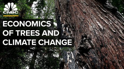
種植數十億棵樹能阻止氣候變化嗎? (Can Planting Billions Of Trees Halt Climate Change?)
11:29
And there's
Landsat
, which monitors where deforestation or regrowth is
B2 中高級
傑森-洛德|"系統方法的可視化"|時代精神運動|[LA TownHall - Part 2]。 (Jason Lord | "Visualizing a Systems Approach" | The Zeitgeist Movement | [LA TownHall - Part 2])
12:09
With names like TRIMM,
Landsat
7, Terra,
B1 中級
![傑森-洛德|"系統方法的可視化"|時代精神運動|[LA TownHall - Part 2]。 (Jason Lord | "Visualizing a Systems Approach" | The Zeitgeist Movement | [LA TownHall - Part 2])](https://thumbnail.voicetube.com/w/480/h/270/fSxIT3LixaE.jpg)